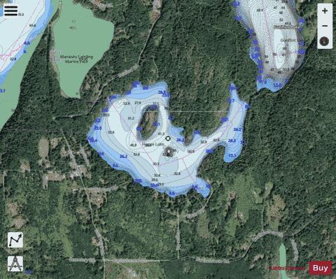
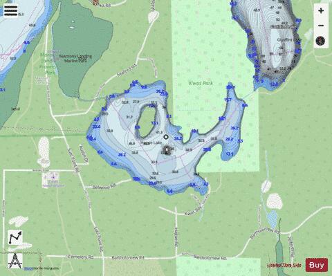
Hague Lake fishing map is included in Lakes and Rivers of British Columbia nautical charts folio. It is available as part of iBoating : Canada Marine & Fishing App (now supported on multiple platforms including Android, iPhone/iPad, MacBook, and Windows(tablet and phone)/PC based chartplotter. ).
With our Lake Maps App, you get all the great marine chart app features like fishing spots, along with Hague Lake depth map. The fishing maps app include HD lake depth contours, along with advanced features found in Fish Finder / Gps Chart Plotter systems, turning your device into a Depth Finder. The Hague Lake Navigation App provides advanced features of a Marine Chartplotter including adjusting water level offset and custom depth shading. Fishing spots and depth contours layers are available in most Lake maps. Lake navigation features include advanced instrumentation to gather wind speed direction, water temperature, water depth, and accurate GPS with AIS receivers(using NMEA over TCP/UDP). Autopilot support can be enabled during ‘Goto WayPoint’ and ‘Route Assistance’.
Now i-Boating supports Fishing Points in Hague Lake.
Have more questions about the Nautical Chart App? Ask us.
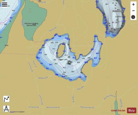
Hague Lake Fishing Map Stats | |
| Title | Hague Lake |
| Scale | 1:12000 |
| Districts | Strathcona |
| Nearby Cities | Campbell River, Puntledge, Courtenay, Cumberland, Powell River, Port Alberni, Parksville |
| Area * | 200.14 acres |
| Shoreline * | 4.06 miles |
| Min Longitude | -124.98 |
| Min Latitude | 50.06 |
| Max Longitude | -124.96 |
| Max Latitude | 50.07 |
| Edition Label 1 | |
| Edition Label 2 | |
| Edition Label 3 | |
| Id | CA_BC_hague_lake_273980 |
| Country | CA |
| Projection | Mercator |
| * some Stats may include nearby/connecting waterbodies | |
| |||||||||||||||||||||||||||||||||||||||||||||||||||||||||||||||||||||||||||||||||||||||||||||||||||||||
|