Suontee (N60 94.10) marine chart is included in Finland Lakes nautical charts folio. It is available as part of iBoating : Finland Marine & Fishing App (now supported on multiple platforms including Android, iPhone/iPad, MacBook, and Windows(tablet and phone)/PC based chartplotter. ).
When you purchase our Nautical Charts App, you get all the great marine chart app features like fishing spots, along with Suontee (N60 94.10) marine chart. The Marine Navigation App provides advanced features of a Marine Chartplotter including adjusting water level offset and custom depth shading. Fishing spots and depth contours layers are available in most Lake maps. Nautical navigation features include advanced instrumentation to gather wind speed direction, water temperature, water depth, and accurate GPS with AIS receivers(using NMEA over TCP/UDP). Autopilot support can be enabled during ‘Goto WayPoint’ and ‘Route Assistance’. Now Automatic Slip to Slip Boat routing based Boat's Draft (draught) is available for water mapped by this chart.
Have more questions about the Nautical Chart App? Ask us.
Fishing Info for Suontee (N60 94.10)
Suontee (also: Suonteejärvi) is a rather large lake in Finland. The northern part of the lake is located in the region of Central Finland, and the southern part in the region of Southern Savonia. The southern part is in a more natural state with very clear water, and it is included in the Natura 2000 conservation network of the EU. The protection area is 2 625 hectare. A typical bird there is the black-throated loon. In the past two big lakes, Suontee and Puula, were one lake until 1854, when the water level was lowered 2.5 meters. This has brought up geological stacks, which are formed by water.
More on Wikipedia...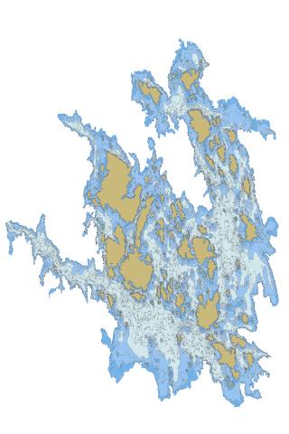
Suontee (N60 94.10) Stats | |
| Title | Suontee (N60 94.10) |
| Scale | 1:24000 |
| Min Longitude | 26.33 |
| Min Latitude | 61.60 |
| Max Longitude | 26.58 |
| Max Latitude | 61.76 |
| Edition Label 1 | |
| Edition Label 2 | |
| Edition Label 3 | |
| Id | FI_14_851_1_001 |
| Country | Finland |
| Projection | Mercator |
| * some Stats may include nearby/connecting waterbodies | |
|