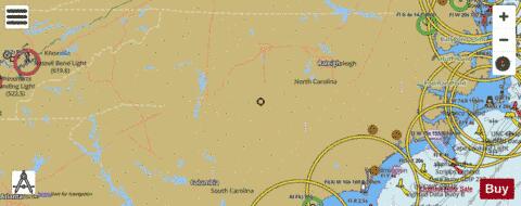
Here is the list of North Carolina Lakes Maps available on iBoating : USA Marine & Fishing App. Marine charts app now supports multiple plaforms including Android, iPhone/iPad, MacBook, and Windows/PC based chartplotter. Available Fishing info on lake maps includes boat ramps, boat launches, fish attractor locations, fishing points, stream flowage lines, navigation buoys, fishing structure, hazards, depth areas & more. HD contour bathymetry is available on selected lake depth maps at no additional cost.
The Lake Navigation App provides advanced features of a Marine Chartplotter including adjusting water level offset and custom depth shading. Fishing spots and depth contours layers are available in most Lake maps. Lake navigation features include advanced instrumentation to gather wind speed direction, water temperature, water depth, and accurate GPS with AIS receivers(using NMEA over TCP/UDP). Autopilot support can be enabled during ‘Goto WayPoint’ and ‘Route Assistance’. If marine chart / fishing map you are looking for is not listed in correct folio, please let us know.
| Fishing Map Name | Scale | |
| Auman Lake | 1:6000 | |
| Belews Lake | 1:24000 | |
| Bonnie Doone Lake | 1:3000 | |
| Buckhorn Reservoir | 1:6000 | |
| Cedar Cliff Lake | 1:3000 | |
| Falls Lake | 1:24000 | |
| Fontana Lake | 1:12000 | |
| Glenville Lake | 1:3000 | |
| Higgins Lake | 1:6000 | |
| Hiwassee Lake | 1:24000 | |
| Hyco Lake | 1:24000 | |
| James Lake | 1:12000 | |
| John H. Kerr Reservoir / Buggs Island Lake | 1:12000 | |
| Kings Mountain Reservoir | 1:12000 | |
| Kornbow Lake | 1:3000 | |
| Lake Glenville | 1:6000 | |
| Lake Hickory | 1:12000 | |
| Lake Julian | 1:6000 | |
| Lake Mackintosh | 1:12000 | |
| Lake Mattamuskeet | 1:12000 | |
| Lake Reidsville | 1:12000 | |
| Lake Surf | 1:12000 | |
| Lake Sutton | 1:6000 | |
| Lake Townsend | 1:12000 | |
| Lake Waccamaw | 1:12000 | |
| Mayo Reservoir | 1:24000 | |
| Mintz Pond | 1:3000 | |
| Mountain Island Lake | 1:6000 | |
| Nantahala Lake | 1:12000 | |
| North Fork Reservoir | 1:6000 | |
| Oak Hollow Lake | 1:12000 | |
| Phelps Lake | 1:12000 | |
| Randleman Lake | 1:24000 | |
| Shearon Harris Reservoir | 1:24000 | |
| Shelley Lake | 1:3000 | |
| Wolf Creek Lake | 1:3000 |