Cass fishing map is available as part of iBoating : USA Marine & Fishing App(now supported on multiple platforms including Android, iPhone/iPad, MacBook, and Windows(tablet and phone)/PC based chartplotter.).
With our Lake Maps App, you get all the great marine chart app features like fishing spots, along with Cass lake depth map. The fishing maps app include HD lake depth contours, along with advanced features found in Fish Finder / Gps Chart Plotter systems, turning your device into a Depth Finder. The Cass Navigation App provides advanced features of a Marine Chartplotter including adjusting water level offset and custom depth shading. Fishing spots and depth contours layers are available in most Lake maps. Lake navigation features include advanced instrumentation to gather wind speed direction, water temperature, water depth, and accurate GPS with AIS receivers(using NMEA over TCP/UDP). Autopilot support can be enabled during ‘Goto WayPoint’ and ‘Route Assistance’.
Now i-Boating supports Fishing Points in Cass.
Have more questions about the Nautical Chart App? Ask us.
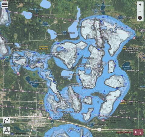
Fishing Info for Cass
Cass Lake is a lake in north central Minnesota in the United States. It is approximately 10 mi (16 km) long and 7 mi (11 km) wide, located in Cass and Beltrami counties, within the Chippewa National Forest and the Leech Lake Indian Reservation, adjacent to its namesake city of Cass Lake. It is the 11th largest lake in Minnesota, and the 8th largest lake lying entirely within the borders of the state.
More on Wikipedia...Popular fish species in this lake include Forage fish, Northern pike, Walleye and Yellow perch.
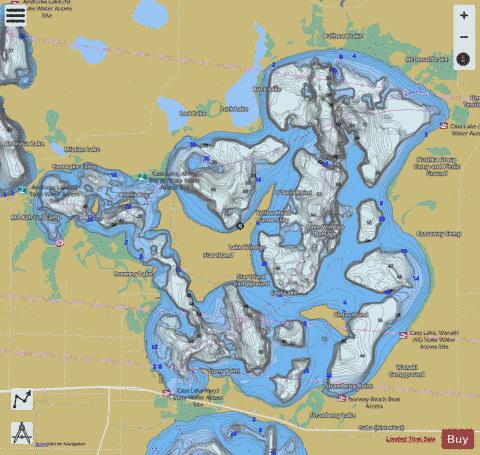

Cass Fishing Map Stats | |
| Title | Cass |
| Scale | 1:24000 |
| Counties | Beltrami, Cass |
| Nearby Cities | Cass Lake, Pennington, Schley, Wilkinson, Turtle River, Lavinia, Guthrie, Tenstrike, Laporte, Hines |
| Area * | 15965.72 acres |
| Shoreline * | 45.39 miles |
| Min Longitude | -94.64 |
| Min Latitude | 47.38 |
| Max Longitude | -94.48 |
| Max Latitude | 47.47 |
| Edition Label 1 | |
| Edition Label 2 | |
| Edition Label 3 | |
| Id | US_MN_04003000 |
| Country | US |
| Projection | Mercator |
| * some Stats may include nearby/connecting waterbodies | |
|