Helin fishing map is included in √ėstfold nautical charts folio. It is available as part of iBoating : Norway Marine & Fishing App (now supported on multiple platforms including Android, iPhone/iPad, MacBook, and Windows(tablet and phone)/PC based chartplotter. ).
With our Lake Maps App, you get all the great marine chart app features like fishing spots, along with Helin lake depth map. The fishing maps app include HD lake depth contours, along with advanced features found in Fish Finder / Gps Chart Plotter systems, turning your device into a Depth Finder. The Helin Navigation App provides advanced features of a Marine Chartplotter including adjusting water level offset and custom depth shading. Fishing spots and depth contours layers are available in most Lake maps. Lake navigation features include advanced instrumentation to gather wind speed direction, water temperature, water depth, and accurate GPS with AIS receivers(using NMEA over TCP/UDP). Autopilot support can be enabled during ‚ÄėGoto WayPoint‚Äô and ‚ÄėRoute Assistance‚Äô.
Have more questions about the Nautical Chart App? Ask us.
Fishing Info for Helin
Helin is a lake which lies in Vang Municipality in Innlandet county, Norway. The southeastern shore of the lake forms the municipal border with neighboring Vestre Slidre. The lake is regulated for power production by the nearby √Öbj√łra hydroelectric power station. Helin has an area of 9.47 square kilometres (3.66 sq mi) and its circumference is about 27 kilometres (17 mi). It is located at an elevation of 870 metres (2,850 ft) above sea level and it has a volume of 18,600,000 cubic metres (15,100 acre‚čÖft). In 1930, a 35-square-kilometre (14 sq mi) area between the lakes Helin and (to the northeast) was recognized as a botanical plant park.
More on Wikipedia...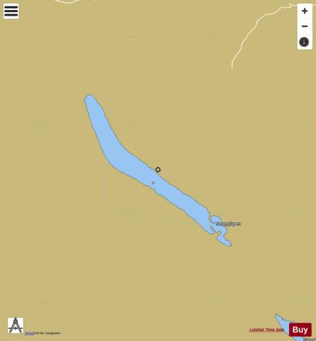
Helin Fishing Map Stats | |
| Title | Helin |
| Scale | 1:24000 |
| Min Longitude | 8.59 |
| Min Latitude | 61.01 |
| Max Longitude | 8.74 |
| Max Latitude | 61.08 |
| Edition Label 1 | |
| Edition Label 2 | |
| Edition Label 3 | |
| Id | NO_LK_570 |
| Country | Norway |
| Projection | Mercator |
| * some Stats may include nearby/connecting waterbodies | |
|