Nicola Lake fishing map is included in Lakes and Rivers of British Columbia nautical charts folio. It is available as part of iBoating : Canada Marine & Fishing App (now supported on multiple platforms including Android, iPhone/iPad, MacBook, and Windows(tablet and phone)/PC based chartplotter. ).
With our Lake Maps App, you get all the great marine chart app features like fishing spots, along with Nicola Lake depth map. The fishing maps app include HD lake depth contours, along with advanced features found in Fish Finder / Gps Chart Plotter systems, turning your device into a Depth Finder. The Nicola Lake Navigation App provides advanced features of a Marine Chartplotter including adjusting water level offset and custom depth shading. Fishing spots and depth contours layers are available in most Lake maps. Lake navigation features include advanced instrumentation to gather wind speed direction, water temperature, water depth, and accurate GPS with AIS receivers(using NMEA over TCP/UDP). Autopilot support can be enabled during ‘Goto WayPoint’ and ‘Route Assistance’.
Now i-Boating supports Fishing Points in Nicola Lake.
Have more questions about the Nautical Chart App? Ask us.
Fishing Info for Nicola Lake
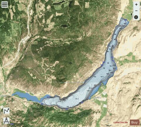
Nicola Lake is a glacially formed narrow, deep lake located in the South-Central Interior of British Columbia, Canada approximately thirty kilometres northeast of the city of Merritt. It was a centrepoint of the first settlements in the grasslands lying south of Kamloops, and today is used for recreation and as a water storage site to provide irrigation and water flows to fisheries downstream in the Nicola River. The lake is important in the history of the local Nicola people as the location of one of their major communities, , which lies on its eastern shore and is the home of the Upper Nicola Indian Band. Many of the band work for the Douglas Lake Cattle Company, aka the Douglas Lake Ranch, whose headquarters are also adjacent to the lake.
More on Wikipedia...Popular fish species in this lake include Burbot and Rainbow trout.
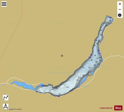
Nicola Lake Fishing Map Stats | |
| Title | Nicola Lake |
| Scale | 1:24000 |
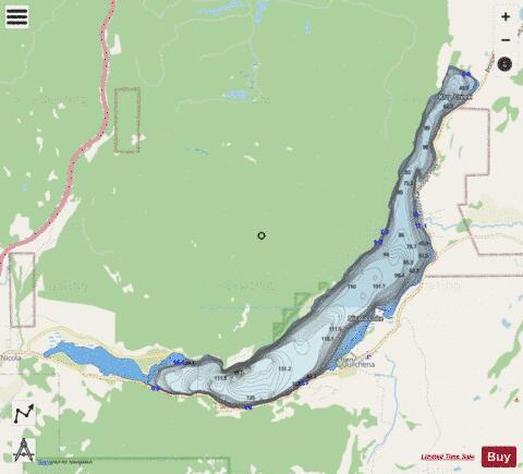
| Districts | Thompson-Nicola |
| Nearby Cities | Merritt, Logan Lake, Kamloops, Dallas, Rayleigh, Princeton, Peachland, Ashcroft, Chase |
| Area * | 6199.07 acres |
| Shoreline * | 30.35 miles |
| Min Longitude | -120.66 |
| Min Latitude | 50.15 |
| Max Longitude | -120.45 |
| Max Latitude | 50.25 |
| Edition Label 1 | |
| Edition Label 2 | |
| Edition Label 3 | |
| Id | CA_BC_nicola_lake_bc |
| Country | CA |
| Projection | Mercator |
| * some Stats may include nearby/connecting waterbodies | |
|